
A Level Environmental Science - Leeson House
We can offer a range of fieldwork for AQA A-Level Environmental Sciences both on-site and in the surrounding area. Some of the options include investigating plant succession in the nearby Studland sand dunes, population studies of woodlice, and calculating carbon content of trees.
Plant Succession
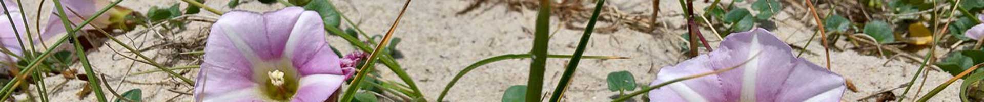
By carrying out transect across a sand dune habitat, students can investigate how species presence, abundance and diversity changes over time. Students will practice systematic sampling and use quadrats to calculate abundance of plant species as well as measuring a range of abiotic factors such as wind speed, soil moisture and pH. This can be followed up with mathematical skills such as drawing scatter graphs or kite diagrams and calculating a Spearman’s Rank statistical test.
Assessing Water Quality
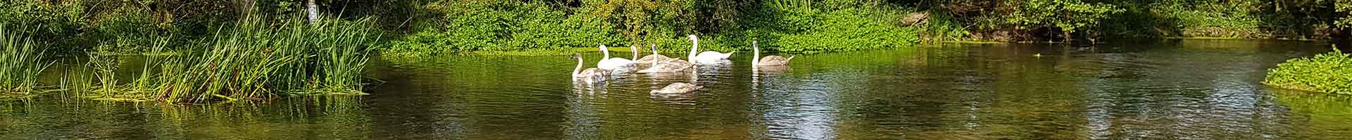
Students investigate the use of a biotic index to assess water quality in either a river or pond environment. By taking samples of invertebrates through kick sampling (rivers) or sweeping with nets (pond) they can calculate species diversity (Simpson’s diversity Index) and water quality (BMWP score). They can also measure a range of factors such as depth, phosphate and nitrate levels.
Estimating Population Size of a Motile Organism
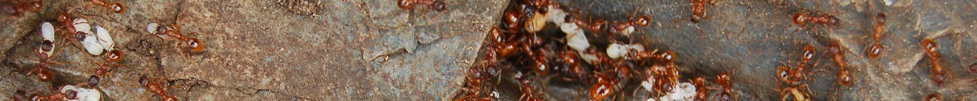
A classic mark-release-recapture experiment based in the grounds of Leeson House. Students will mark and release woodlice, then recapture the following day to estimate population size using the Lincoln Index. Other population sampling techniques can be discussed or shown (season & weather dependent) such as use of moth traps or mammal traps.
Carbon Sequestration
This fieldwork aims to investigate differences in carbon storage and sequestration between contrasting areas of woodland. Students will use tree height and circumference to calculate the biomass and carbon content of randomly sampled trees as well as working out carbon storage per hectare of woodland.
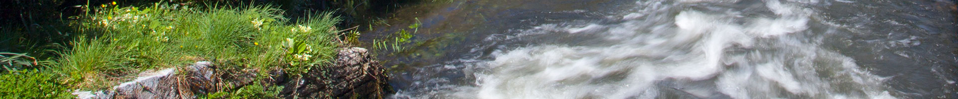
Land Use and Flood Risk
Students look effect of land use on infiltration rates by carrying out measurements in two contrasting areas (e.g. compacted and less compacted soil), using random sampling to select sites. This fieldwork may be carried out in the Leeson house grounds and can be followed up with drawing line graphs or box and whisker plots and a Mann-Whitney U statistical test to compare the two areas.
Our Address:
Leeson House Field Studies Centre
Langton Matravers
Swanage
Dorset
BH19 3EU
Phone: 01929 422126
Email: leesonhouse@dorsetcouncil.gov.uk
Looking for Information on Winter Residentials?
Winter Residential Pages