
A Level Geography - Leeson House
Leeson House prides itself on quality A Level geography fieldwork. With a variety of fantastic sites to inspire students in both physical and human aspects of geography. Our courses can be tailored for the NEA investigations or the AS exams. NEA fieldwork data collection can be completed here at one of our fantastic sites, or we can pack a visit full of techniques to take back to your local area to collect data.
High Energy Coastal System
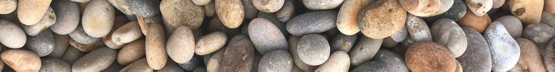
Location: Chesil Beach, Durdle door and Lulworth Cove
This study focuses on inputs, flows and components of sediment and energy on an exposed coastline. Students have the opportunity to carry out fieldwork on wave frequency, longshore drift, beach profiles, sediment shape and size. This fieldwork day lends itself to a follow up session including Chi2 and Student T Test statistical tests, along with creating cross profiles of the beach, drawing box and whisker plots and comparing primary data to LiDAR secondary data.
Low Energy Coastal System Day
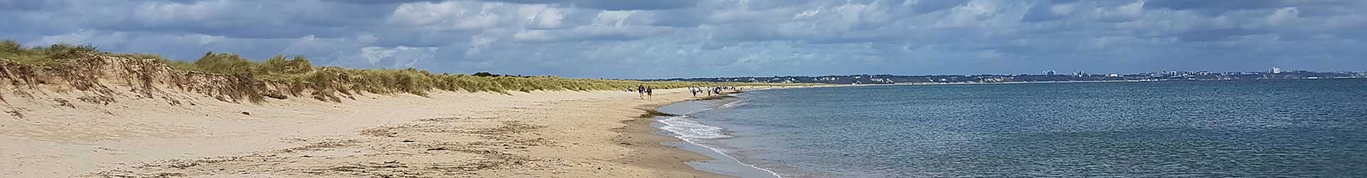
Location: Studland
The sediment budget of Studland Bay is the focus of this study. Students will gain a better understanding of the inputs, stores and outputs of a sheltered Easterly facing coastal system. Students will have the opportunity to carry out fieldwork on beach width and profile to compare to LIDAR data to work out whether Studland Beach is in a positive or negative sediment budget, wind speed and direction to use the Hsu equation to look at the amount of sediment accumulating in the sediment store of the sand dunes and a dune transect to look at the health of a store of sediment. This fieldwork day lends itself to follow up including a Spearman’s Rank statistical test along with kite diagrams, beach profiles and the use of aerial photography to look at historical erosion.
Coastal Management
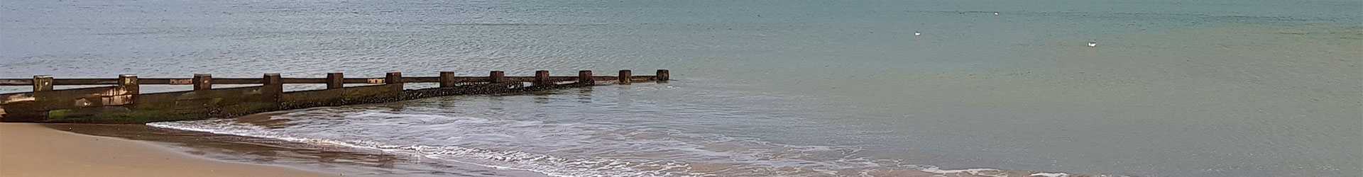
Location: Swanage
This study focuses on the need for management, what management strategies have been used in different parts of Swanage Bay and their successes and the opinions of the coastal community on the management they live with. Students will have the opportunity to carry out fieldwork on groyne heights, beach profiles, field sketches, annotated photographs and questionnaires. Fieldwork can be extended to include the cliff management in the Northern section of Swanage Bay.
This fieldwork day lends itself to a follow up session looking at the possibility of using simple GIS to present primary data and a look at LiDAR to help understand the long-term successes and failures of coastal management.
Hydrological Cycle
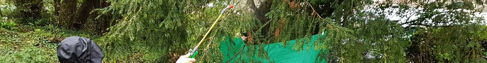
Location: Based at Leeson House and various sites within the Swanbrook catchment.
Fieldwork involves mini investigations on different aspects of the water cycle including the use of flood storm simulators to investigate surface run off, leaf interception rates of different trees and soil infiltration rates on different soil textures. It is possible to also visit the flood alleviation scheme along the Swanbrook to help gauge the importance of flood management in a small urban area. This study has huge scope for follow up where students can think about how best to protect the catchment from future flood events.
Rural Perception Study

Location: Corfe Castle Village
Students will have the opportunity to carry out fieldwork looking at media perception vs real life in Corfe Castle Village. Using both primary and secondary data students will gain a sense of place in Corfe and look at differing areas within the village and why these differences exist. Fieldwork includes questionnaires, sustainability indices, traffic surveys as well as many others. Follow up can include use of a wide variety of GIS websites and other secondary sources to help gain a true picture of Corfe Castle Village.
Urban Regeneration

Location: Boscombe
Students will have the opportunity to carry out fieldwork looking at the successes of the regeneration scheme on the seafront in Boscombe. As well as looking at the problems of Housing of Multiple Occupancy (HMOs) and the future for regeneration in the area. Students will start their fieldwork immersed in the regeneration scheme on Boscombe seafront focusing on people’s opinions. Students then walk up to the shopping area and carry out fieldwork on shared space, health of the high street and people’s perceptions of the retail areas. Finally, students finish fieldwork in the residential areas of Boscombe looking at land use, environmental quality and signs of deprivation.
Follow up possibilities can include Spearman’s Rank and Chi squared statistical tests and secondary research using a variety of GIS websites and other secondary sources to gain a well-rounded image of the issues still facing Boscombe.
Sustainability And Perception Study
Location: Poundbury
Students will have the opportunity to carry out fieldwork in different areas of Poundbury looking at a unique new town with sustainable characteristics. Students will very quickly gain an opinion of Poundbury whether it be positive or negative.
Fieldwork includes use of the Egan Wheel to investigate sustainability, home town/clone town survey, questionnaires and annotated photographs.
Follow up possibilities include statistical tests and the use of a variety of secondary data websites and GIS to build a better picture of Poundbury.
Our Address:
Leeson House Field Studies Centre
Langton Matravers
Swanage
Dorset
BH19 3EU
Phone: 01929 422126
Email: leesonhouse@dorsetcouncil.gov.uk
Looking for Information on Winter Residentials?
Winter Residential Pages